FLY SMART, FLY SAFE

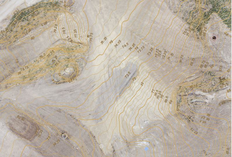
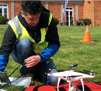
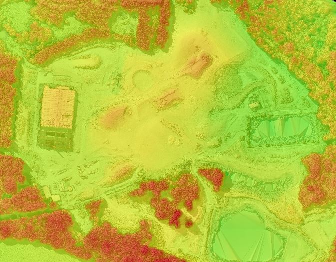
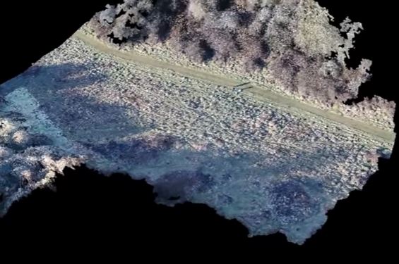
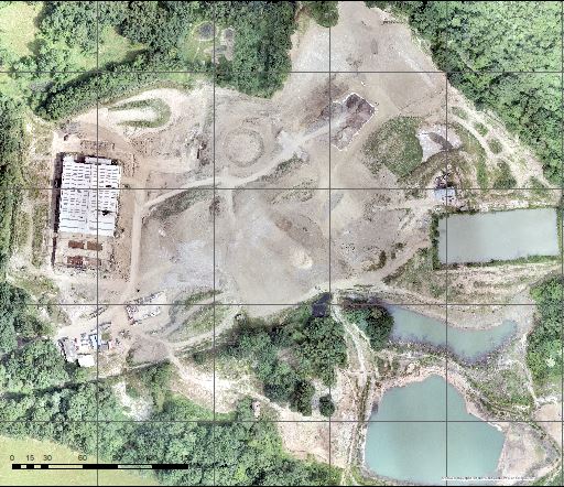
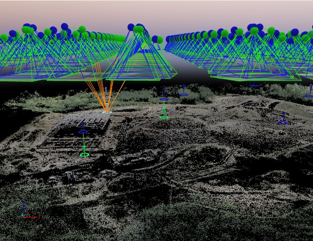
Drone Geospatial is a professional commercial UAV surveying operations and geoanalytics service. As well as collecting data from aerial surveys we geoprocess, map and analyse the results. Services include Surveying and mapping - using a RTK NetRover and ground control points Aerial Inspections 3D Point Cloud Aerial Photography - Orthomosaic Volume Calculation Contour Lines 3D Textured Model Based in south Hampshire
PO96DA