by ARPAS-UK, in association with Connected Places Catapult
In this session, explore how using technology like orthomosaics, contour lines and point clouds mosaic images can be amassed and 3D models can be created.
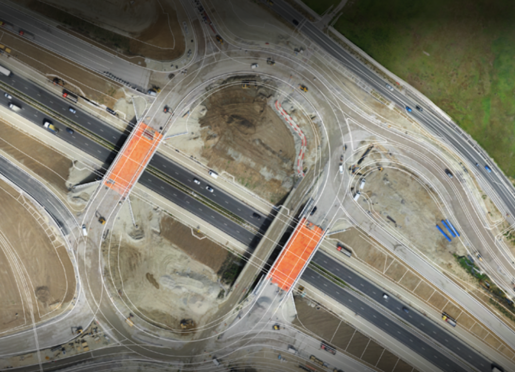
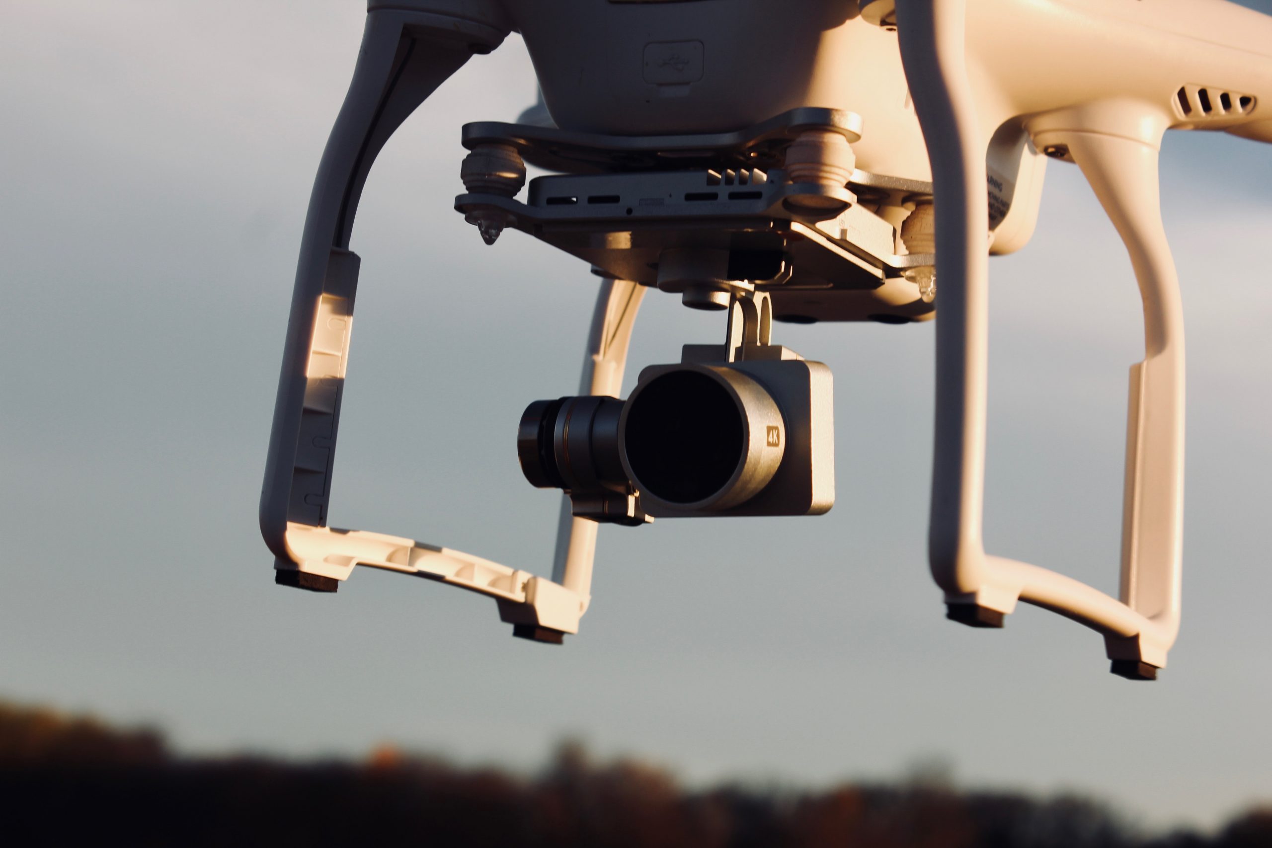
Drones seem to have the potential to revolutionise numerous areas of our lives, but today their biggest disruption is in the field of surveying and mapping. These small flying machines have made mapping any area or an object a matter of few minutes or hours, instead of the typical days or weeks it used to take before. In addition, latest mapping equipment enables operators to achieve survey-grade accuracy in a photogrammetric map or 3D model.
But what exactly is this ‘accuracy’? How do you define it, measure it, and verify it? And finally, what is the accuracy you actually need and how do you achieve it using UAVs? In this online CPD learning session, Harry Atkinson, co-founder of Sensat, and Ben Craigie, survey manager at Sensat, will explain the degree to which the absolute accuracy approaches the relative accuracy is determined by the overall quality of the photogrammetric process and the accuracy of the Ground Control Points.
Key Learnings
- Learn what a drone can and cannot do
- Understand how data requirements match platform and operator
About the Speakers
Harry Atkinson is a technology entrepreneur with years of experience commercialising products and services. He co-founded SenSat in 2015 with the aim to digitise the world, enabling the next wave of technology to help in
Ben Craigie MCInstCES spent over 20 years in the field as a surveyor, moving with the progression of Total Station development, GNSS advances, Laser Scanning and Cad modelling before latterly moving into a management role. 3 years ago, Ben became a full member of the Chartered Institution of Civil Engineering Surveyors and more recently joined Sensat as Survey Manager. Here he works to ensure Sensat meet expected standards, monitors and look to improve overall accuracy while liaising with clients and taking responsibility for the final data deliveries.
Professional development series brought to industry by ARPAS-UK, the drone industry trade association and Connected Places Catapult, who provide impartial ‘innovation as a service’ for public bodies, businesses, and infrastructure providers.