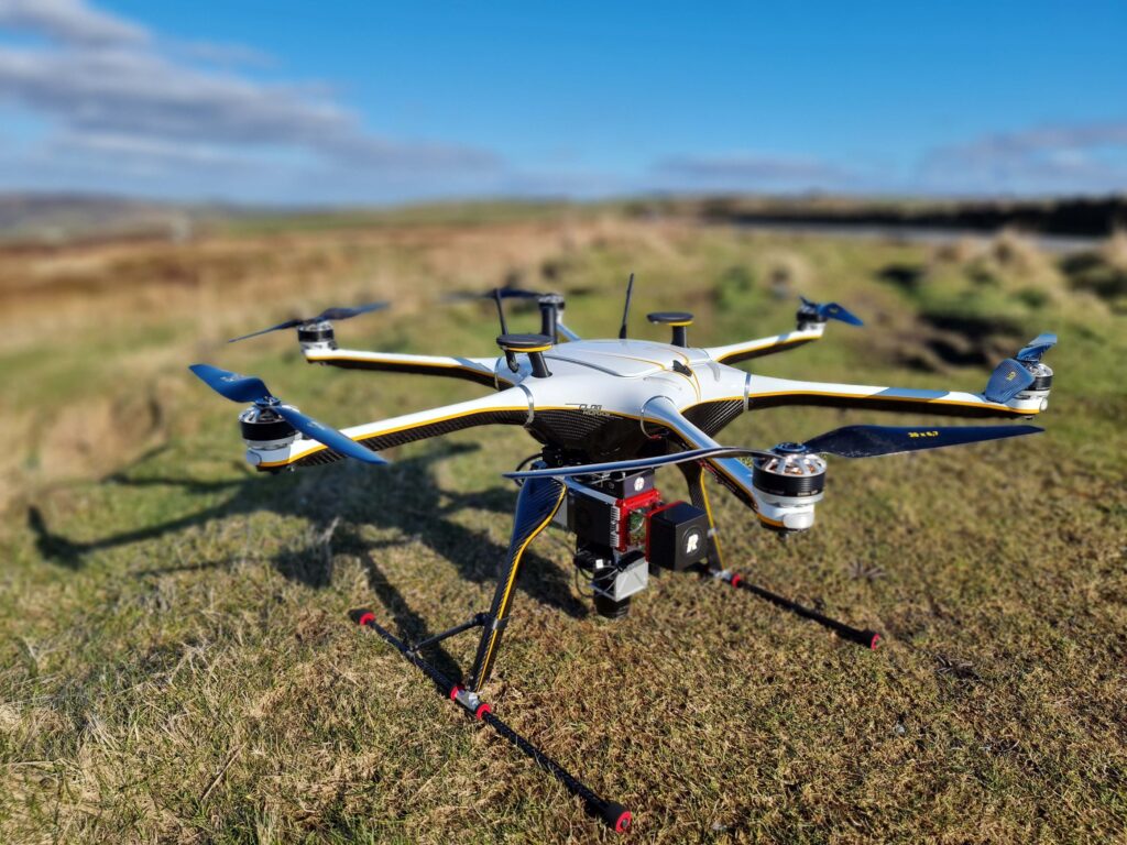
In this CPD session, join James & Jonathan as they explain the fundamentals of performing a professional unmanned aerial LiDAR survey.
We will explore Clogworks levels of performance & redundancy and how they affect operations, how to integrate a LiDAR system and highlight how you can ensure you have a “future-proof” platform.
Furthermore, we will cover the fundamentals of performing a professional unmanned aerial LiDAR survey. This includes highlighting the key components of a LiDAR system, the considerations around its selection, survey planning, and finally the main processing functions to produce a robust and reliable point cloud.
Speakers’ Info:
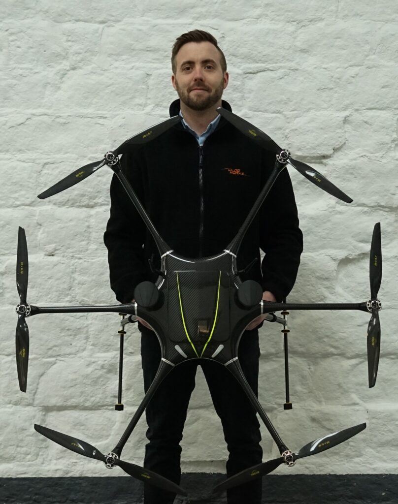
James Pearce, Clogworks Technologies Ltd, Sales & Marketing Officer
Since March 2022, James actively works with both new and existing customers to ensure Clogworks deliver the perfect aerial solution. Before that, he worked in Germany with a drone reseller and also used to have his own drone operator business.
James draws on his knowledge of different UAV and LiDAR platforms to highlight different advantages.
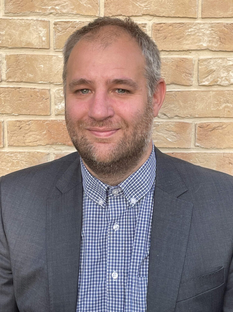
Jonathan Robinson, RIEGL UK Ltd, Product Sector Manager
Jonathan Robinson is a product sector manager at RIEGL UK Ltd with 23 years’ experience in the geospatial industry. He has enjoyed international roles both as a geomatics professional and within the design and manufacture environment, helping customers understand and use the latest geo-survey technology. Specialising in multi-platform dynamic laser scanning for mass-point acquisition, Jonathan uses his experience to demonstrate the capabilities of RIEGL Ultimate LiDAR TM on unmanned drones, aircraft, land vehicle and marine vessel.