How do you fly an effective drone mission to capture high quality data, which can then be processed and delivered quickly to your customers.
Whether you’re an AEC, Public Safety, Commercial or Not for Profit organisation, are you facing management and collaboration issues across multiple drone solutions?
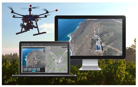
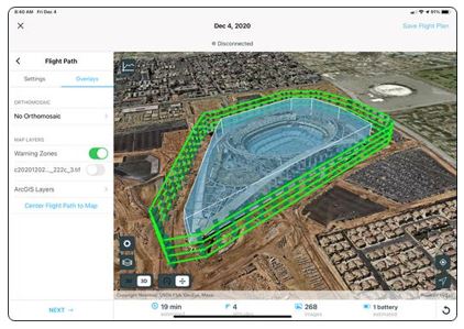
Esri UK will provide an overview of an end-to-end cloud-based drone programme designed to revolutionize your data and site management. Owen and Mark will also discuss how to maintain a complete picture of your drone inventory and flight history with automatic fleet management; Staying up to date with accurate imagery when needed with repeatable flight plans that ensure high quality data capture when flying your drones.
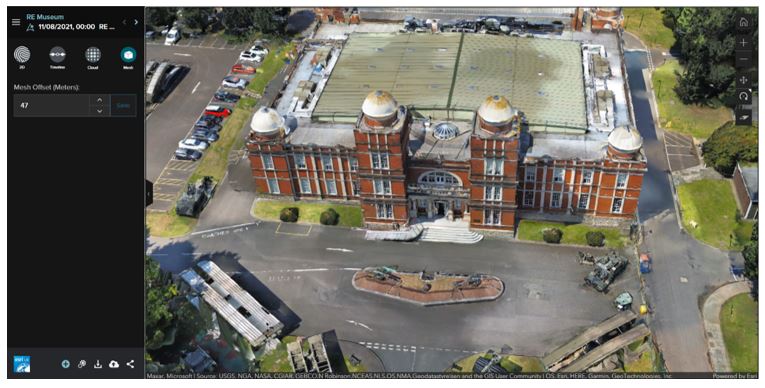
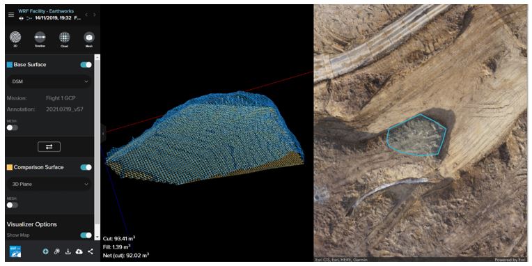
Lastly, Owen and Mark will outline how to securely process imagery in a scalable cloud environment to create high-quality 2D and 3D imagery products that can be quickly shared throughout your organization on any device.
Key Learnings:
• Autonomous flight paths
• Process in the cloud
• Plan and capture
• Quickly share and disseminate
• Fleet Management
Speakers:
Owen Lauder, ArcGIS Advisor & Mark Clews, Technical Drone Lead.
Owen – Sales Manager at Esri UK. Specifically working closely with drone organisations to gain exceptional value from their drone imagery. I have worked with organisations across the Defence/Public Safety; AEC and Transport sector developing the use of photogrammetry. These use cases range from vegetation management, Site inspections to Road accident collisions.
Mark – Mark is ex forces and is a qualified drone operator. He now works in technical enablement and is the technical lead for drone products at Esri UK.